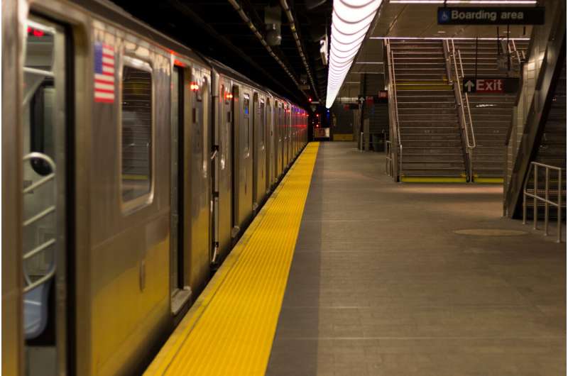
A new trip-planning app has shown encouraging results in improving navigation inside subway stations, according to a study published in IEEE Journal of Translational Engineering in Health and Medicine, promising the possibility of easier commutes for people who are blind and low-vision.
Designed by researchers at NYU Tandon School of Engineering and NYU Grossman School of Medicine, Commute Booster routes public-transportation users through the “middle mile”—the part of a journey inside subway stations or other similar transit hubs—in addition to the “first” and “last” miles that bring travelers to and from those hubs.
“The ‘middle mile’ often involves negotiating a complex network of underground corridors, ticket booths and subway platforms. It can be treacherous for people who cannot rely on sight,” said John-Ross Rizzo, MD, who led the research team that includes advisors from New York City’s Metropolitan Transit Authority (MTA).
Rizzo is an associate professor in NYU Tandon’s Biomedical Engineering department and is on the faculty of NYU Grossman. “Most GPS-enabled navigation apps address ‘first’ and ‘last’ miles only, so they fall short of meeting the needs of blind or low-vision commuters. Commute Booster is meant to fill that gap.”
Subway signs are typically graphical or text-based, creating challenges for the visually impaired to recognize from distances and reducing their ability to be autonomous in unfamiliar environments.
Commute Booster automatically figures out what signs a traveler will encounter along the way to a specific subway platform. Then, it uses a smartphone’s camera to recognize and interpret signs posted inside transit hubs, ignoring irrelevant ones and prompting users to follow relevant ones only.
In the recent study, researchers tested Commute Booster’s interpretation of signage from three New York City subway stations—Jay Street-Metrotech, Dekalb Avenue and Canal Street—that a traveler would encounter on a specific journey. The app proved 97% accurate in identifying signs relevant to reach the intended destination.
Testing inside those three subway stations also revealed that Commute Booster could “read” signs from distances and at angles that reflect expected physical positioning of travelers.
The Commute Booster system relies on two technological components. The first, general transit feed specification (GTFS), is a standardized way for public transportation agencies to share their transit data with developers and third-party applications. The second, optical character recognition (OCR), is technology that can translate images of text into actual editable text.
The GTFS dataset contains descriptions for locations and pathways within each subway station. Commute Booster’s algorithm uses this information to generate a comprehensive list of wayfinding signage within subway stations that users would encounter during their intended journey. The OCR functionality reads all texts presented to users in their immediate surroundings.
Commute Booster’s algorithm can identify relevant navigation signs and locate the position of signs in the immediate environments. By integrating these two components, Commute Booster provides real-time feedback to users regarding the presence or absence of relevant navigation signs within the field of view of their phone camera during their journey.
Researchers plan to conduct a human subject study of Commute Booster in the near future. The app could be available for public use in the near term.
Rizzo, who was named to MTA’s board in June 2023, has a long track record of research that applies engineering solutions to challenges faced by people with disabilities, particularly those with visual disability.
More information:
Junchi Feng et al, Commute Booster: A Mobile Application for First/Last Mile and Middle Mile Navigation Support for People with Blindness and Low Vision, IEEE Journal of Translational Engineering in Health and Medicine (2023). DOI: 10.1109/JTEHM.2023.3293450
Citation:
New app promises to make navigating subway stations easier for people with blindness and low vision (2023, July 27)
retrieved 27 July 2023
from https://techxplore.com/news/2023-07-app-subway-stations-easier-people.html
This document is subject to copyright. Apart from any fair dealing for the purpose of private study or research, no
part may be reproduced without the written permission. The content is provided for information purposes only.
Stay connected with us on social media platform for instant update click here to join our Twitter, & Facebook
We are now on Telegram. Click here to join our channel (@TechiUpdate) and stay updated with the latest Technology headlines.
For all the latest Technology News Click Here
For the latest news and updates, follow us on Google News.
